
The PALM model system 6.0. PALM (formerly an abbreviation for Parallelized Large-eddy Simulation Model and now an independent name) is a Fortran-based code applied for studying atmospheric and oceanic boundary layers. The model is optimized for use on parallel computers. Much effort was made to enable applications in urban environments. The model includes fully interactive land surface and radiation schemes. PALM is developed by an international team lead by the University of Hannover (Germany).
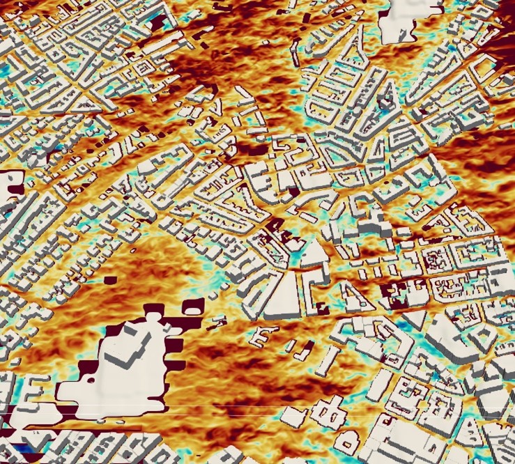
At NILU, PALM is used both as a standalone model or coupled with the WRF meteorological mesoscale model. The PALM model is also used to provide input wind fields for the FLEXPART-PALM model for urban applications, if needed we have the capability to modify the PALM model to better suit our needs. We run PALM on external HPC servers due to the high CPU time requirements.
Contact
Massimo Cassiani (mc@nilu.no)
Reference
Maronga, B. et al. : Overview of the PALM model system 6.0, Geosci. Model Dev., 13, 1335–1372, https://doi.org/10.5194/gmd-13-1335-2020, 2020.