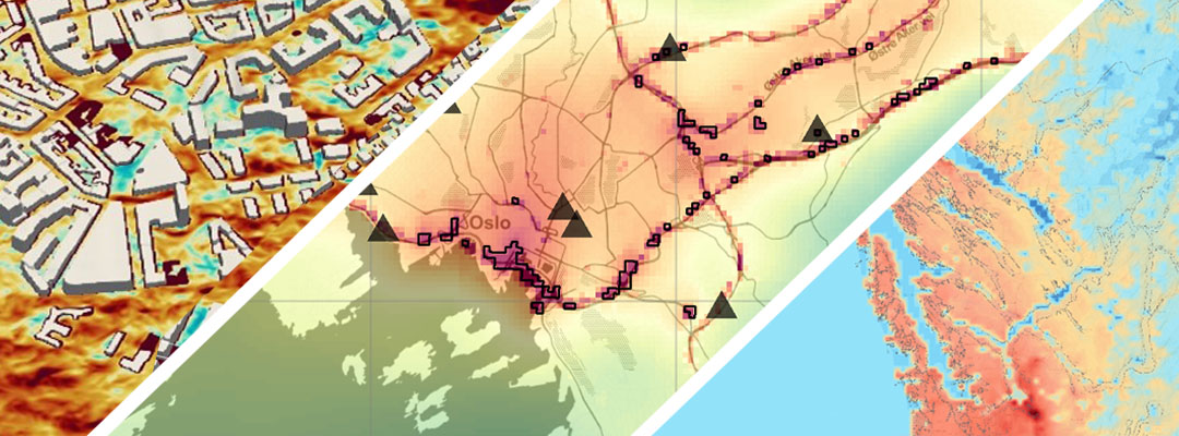
Modelling is an integral element of the work at NILU. Over the last few decades, scientists at NILU have both developed and applied a wide variety of models related to the atmosphere. Here we provide an overview of the current model portfolio of NILU. We present both models that have been fully or to a large extent developed at NILU and modelling systems that were developed elsewhere but are under heavy use at our institute.
1. Atmospheric dispersion models
NILU scientists have over the last few decades developed the urban dispersion model EPISODE. It is a city-scale 3D Eulerian numerical model with embedded sub-grid models, and is primarily used for calculating ambient concentrations of air pollutants in urban areas. Several special-purpose versions of EPISODE exist including, for example, a version with a plume-in-grid Lagrangian module.
Among the models developed at NILU, FLEXPART is a model for simulating atmospheric transport represented by Lagrangian trajectories of a large number of particles in the atmosphere. These particles, that can be tracked forward or backwards in time, are driven by Eulerian wind fields such as those produced by 3D meteorological models, typically from the European Centre of Medium Range Weather Forecast (FLEXPART-ECMWF). In addition, several versions of FLEXPART using other meteorological input have been developed, including FLEXPART-NORESM/CAM, FLEXPART-WRF, and FLEXPART-PALM.
Besides the models developed at NILU, our researchers make heavy use of models developed primarily at other institutes. This includes for example the EMEP MSC-W model used as a state-of-the-art chemcial transport model and a specialized version to run with WRF meteorology (WRF-EMEP), as well as the PALM Large-eddy Simulation model for studying the boundary layer at very high resolution.
2. Emission models
Atmospheric dispersion models require emissions as one of the underlying input datasets and several models for estimating emissions have been developed at NILU, including the MetVed model for calculating air pollutant and greenhouse gas emissions from residential wood combustion and the NERVE model for estimating road traffic emissions.
3. Other models
More recently the AirGAM model was developed at NILU. It is a statistical model based on generalized additive modelling and is primarily used for estimating trends in daily observed pollutant concentrations at air quality monitoring stations while discounting the effect of meteorology. The MoNET tool helps address key requirements of the EU’s Ambient Air Quality Directive (AAQD) by digesting spatial-temporal data from both observations and models. The S-MESH approach combines satellite data and machine learning to deliver daily high-resolution air quality maps across Europe for better environmental decision-making.

